Mapping Identities: Visual Depictions of Scotland

Mapping Identities: Visual Depictions of Scotland
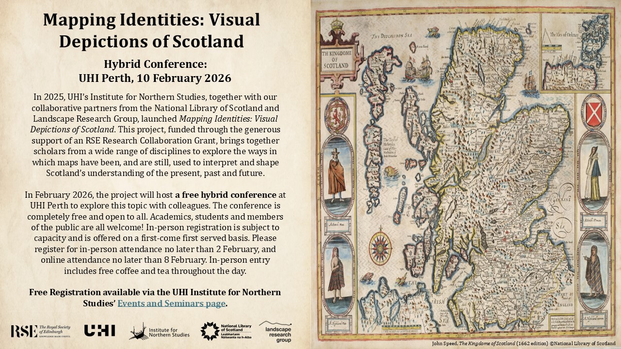
Registration is now open for the Mapping Identities conference to be held on 10th February 2026 at UHI Perth and online.
The research project is a collaboration between The University of the Highlands and Islands Institute for Northern Studies and our partners from the National Library of Scotland and Landscape Research Group.
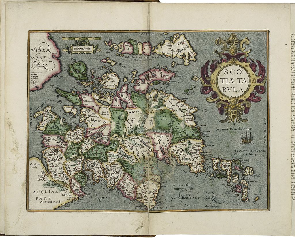
Though the purpose of a map may superficially be merely functional, educational or descriptive, the very act of its production will have necessitated some level of selectivity. Such selectivity can include the features presented, the scale used, where the map is centred, the annotations used and where boundaries and borders are placed.
This project asks why and how such choices are made and how these choices have impacted the way that geography, cosmology, history, geology and identity has been perceived in Scotland.
Our aim is to encourage awareness of the work being undertaken on these themes and foster new collaborations.
The following workshops are planned :
- Identity. Library National of Scotland (Causewayside, Edinburgh). Friday 25 April 2025. Exploring how maps have interacted with local and national identities in Scotland. See blog report.
- Geography and Cosmology. UHI Orkney (Kirkwall). Friday 6 June 2025. Examining how visual depictions of Scotland in the ancient and medieval world both drive and be driven by the understanding of Scotland’s place in the world and of its own geography. See blog report.
- Power. Mitchell Library (Glasgow). Wednesday 8th October 2025. Discovering how maps have been used to reflect and yield power over the land and its people.

